
What's new in the Esri UK Premium Basemaps?
/In the latest release of the Esri UK Premium Online basemaps there are updates to some of the data used to produce them.
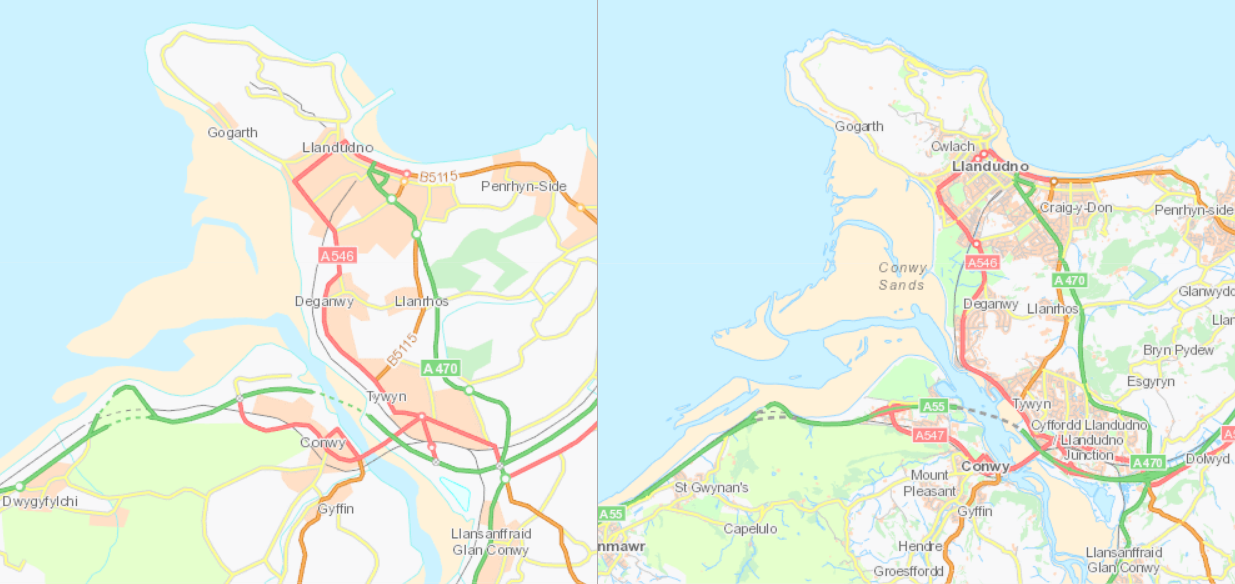
They have been re-engineered to use the latest available OS OpenData at all scale levels where premium data is not displayed. OS Strategi data has not been updated since January 2016, and so to ensure consistency between zoom scales this has been completely replaced with OS Vector Map District (with the exception of National Park boundaries). The key benefit is that there is no jump in positional accuracy when zooming between scales, due to the increased accuracy of VMD, which was a limitation of the previous Strategi based basemaps.
Additionally two new products have been added to further enhance the premium basemaps;
Firstly, OS Open Greenspace, which shows areas of public parks and communal areas such as allotments, playing fields, and outdoor sporting facilities. This data has been incorporated into all the premium services and can be viewed at scales of 1:250,000 and larger.
Secondly, the OSMM Greenspaces layer has been added to the MasterMap basemap. This is much more detailed than Open Greenspace and includes private gardens as well as the open spaces mentioned above. The coverage is only available for larger towns and cities.

Private gardens have been given a very light shading to allow them to be contrasted with the white background. Wooded areas and other open green spaces such as school playing fields, camp grounds, sports facilities, cemeteries and public parks are displayed in green rather than being large areas of white space on the map.
We will also be including the new Open data in the OS Open Basemaps we publish next year.
If you have any comments or suggestions for future enhancements or changes please contact us.