
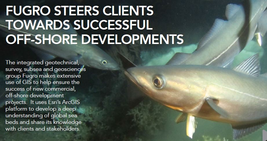
Fugro steers clients towards successful off-shore developments
/
Operating in over 70 countries, Fugro is the world’s leading independent provider of
services for organisations involved in designing, building and operating large industrial
installations at sea, such as wind farms or oil rigs. The company has used ArcGIS to develop
an automated tool that categorises areas of seabed as ‘no go’, ‘high risk’, ‘moderate risk’ or ‘low risk’, according to their development potential. This versatile solution, drawing on
a vast amount of seabed data, helps Fugro to guide clients towards the sites that are more
likely to be approved for development, most quickly and at the least cost.
Fugro’s environmental scientists use ArcGIS to analyse complex environmental data, including
the known movements of marine mammals and underwater flora and fauna. The clarity
and insight that GIS provides enables Fugro to reach accurate conclusions about the
possible environmental impacts of proposed developments. It then uses ArcGIS to create
accurate and informative reports, which help clients to make confidently informed decisions
about how to balance commercial viability with environmental sustainability.
ArcGIS is also used by Fugro to help allay public and commercial concerns about new
marine developments. The company embeds maps into reports and other communications
materials, which can show fishermen, conservationists, local people and other marine
stakeholders the minimal consequences that new projects may have on their livelihoods
and the marine environment. In ensuring that information is easy to understand, the
maps help to improve acceptance of new schemes and pave the way for more successful
commercial enterprises.
" The benefit of ArcGIS is just how flexible it can be. It has many different and significant applications within our business. "
Helen Cole, GIS Manager, Fugro (EMU)