Category
Technology
Search

The Esri Support app has been evolving over the years, and with the latest release, What’s New in the Esri Support App (October 2024) we believe it has become an indispensable tool for the global ArcGIS user community. The Esri Support app provide...
Read more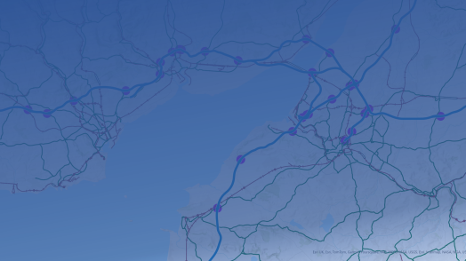
This blog was updated in March 2025 to reflect new changes coming to the user types. The ArcGIS system contains a diverse portfolio of individual products that meet the wide needs of our customers. From a capability and technology perspective this...
Read more
February saw releases and updates across several parts of the ArcGIS system, so we wanted to provide a summary of all the updated products and share key links so you can find out more. I know it wasn’t quite spring, but the crocuses are out even i...
Read more
Live feeds are a great way of showing up to date and dynamic content in your web maps and apps. Many of these datasets have global coverage, but what can you do if you want to focus on a smaller area like the UK? While you can’t clip live feeds ...
Read more
The February 2025 Sweet for ArcGIS 8.5 Release is here! It includes changes and new capabilities to make your editing experience smoother and more intuitive. Key highlights of this update are provided below. If you’ve not heard about Sweet for Arc...
Read more
If you or your organisation are looking to collect and engage with your own geospatial data, you’ve come to the right place. Say hello to the ArcGIS Mobile Worker license, designed for on-the-go use of ArcGIS in the field. But before we begi...
Read more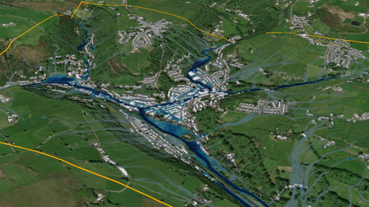
At this year’s Esri UK Scottish Conference, we saw the new ArcGIS Pro flood simulator tool in action. This new tool allows you to model how water moves and accumulates in a 3D scene, enabling quick, on-the-fly flooding scenarios. This dynamic app...
Read more
Have you ever found yourself in the unenviable position of needing to bulk add attachments to over 200 features in ArcGIS Pro? The options are either tediously attaching each file manually or devising a more efficient method. Fortunately for you, ...
Read more
The constant evolution of AI (Artificial Intelligence) encourages many to believe it may accelerate our progress towards a sustainable and resilient future. After delving into the ways AI is supporting geospatial analysis in ArcGIS, I’m inclined t...
Read more
The changes to user types this year has opened up access to a range of products to new audiences. With this, comes new possibilities, but also lots of questions – which products might be useful for me and my organisation? One such product Ar...
Read more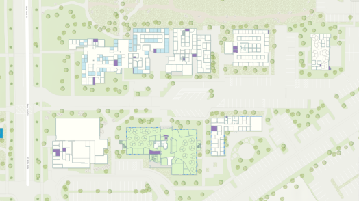
From operations to the management of assets, the ability to map indoor spaces opens a plethora of new opportunities and ways to display and understand your spatial data. The concept of indoor mapping is relatively straightforward and if you want t...
Read more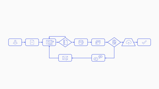
When ArcGIS Workflow Manager made its way to ArcGIS Online in July 2023, I couldn’t resist diving in to see what it was all about. Since then, I’ve become a bit of a fan! In this blog, I’m excited to share my enthusiasm with you by blending ...
Read more